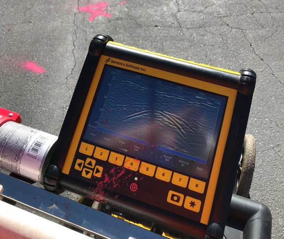
We can locate just about anything underground with ground penetrating radar (GPR.) With LMX200 Ground Penetrating Radar (GPR) equipment we are able to locate both metallic and non-metallic utilities, or objects such as PVC, Fiber Optic, Concrete Pipes, Septic Tanks/Fields, Water Tanks and Grave Sites.
Concrete Scanning
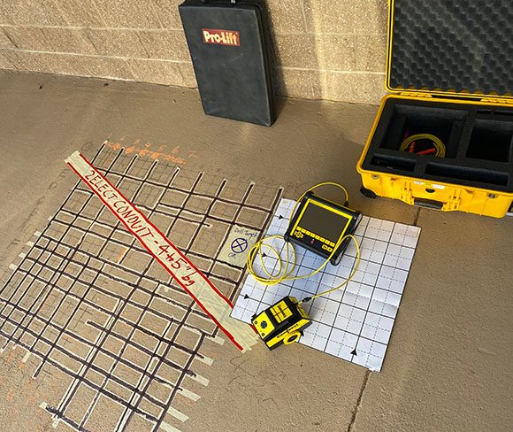
Target Locating provides Concrete Scanning in support of coring and cutting projects that demand highly accurate tolerances. We can successfully locate conduits and utilities embedded in concrete to protect building integrity and provide another layer of safety for coring and cutting workers. We commonly locate and mark rebar layouts and post-tension cables. Our GPR technology can also determine concrete thickness, and identify voids or deteriorated conditions.
Underground Storage Tanks (USTs)
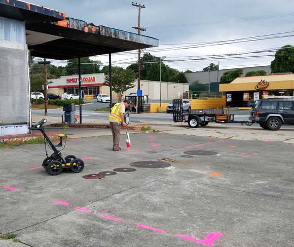
In support of environmental investigation/construction projects at gas stations, Target Locating locates and maps USTs associated fuel lines and site utilities to protect assets, workers and the environment. 3-D GPR Grid Surveys are an efficient method in defining the horizontal and vertical orientation of USTs, piping and utilities at complex sites. Our 4-step process includes:
- Grid Set Up
- Collecting Data
- Analyzing Data
- Mapping
Borehole Clearance
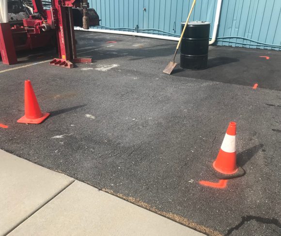
Borehole Clearance is an economic option for Engineering/Environmental companies conducting subsurface drilling projects that do not require comprehensive utility locating services. Target Locating uses GPR to identify potential linear targets near proposed boring locations in the shallow subsurface.
Septic System Locating and Mapping
GPR is an effective tool for locating non-metallic piping – like plastic and concrete piping associated with septic system drainage fields. Many permitted projects require accurate mapping of these systems. Our GPR is equipped with a powerful GPS which makes mapping possible even in remote mountain top settings.
Archaeological
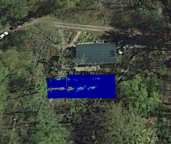
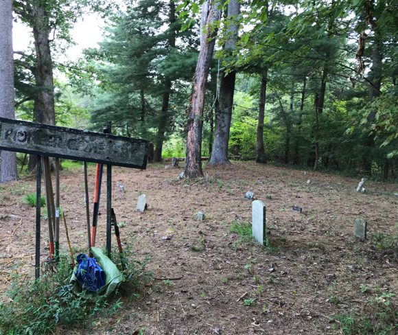
Target Locating investigates historical cemeteries and assists law enforcement with locating buried evidence.
Shallow Subsurface Anomalies & Conditions
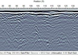
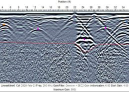
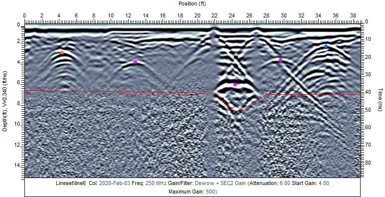
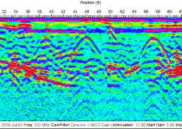
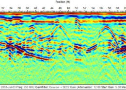
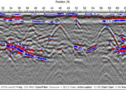
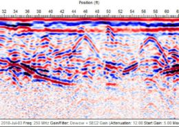
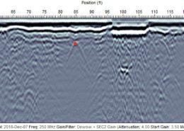
Target Locating uses GPR to identify other buried objects or soil conditions including former drinking reservoirs, buried drums, ancient creeks and riverbeds, dump sites and sinkholes/voids. See GPR cross sections below for other examples of how we view and interpret subsurface conditions using GPR data.
GPR Cross Sections
These images offer a glimpse of our GPR data analysis and interpretation capabilities. There are a multitude of ways to view the subsurface using GPR data, and Target Locating is proud to offer high-quality deliverables in support of our specialized GPR projects.
