GIS Mapping
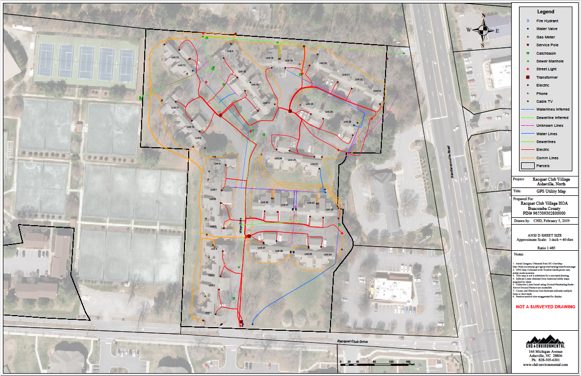
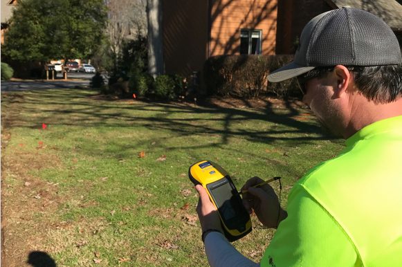
Target Locating provides utility mapping for complex sites with Global Information System (GIS). We use the powerful ESRI ArcGIS products with sub-meter scale accurate Global Positioning System (GPS) receivers to create professional maps for facilities and developments.
Reporting
Target Locating provides written field reports for complex utility locating projects, as well as comprehensive subsurface investigation reports related to specialized GPR investigations and mapping:
- 3D GPR Surveys
- UST Scanning
- Utility Scanning
- Depth Approximations with supporting GPR cross sections (see featured content) and project data.
- All reports are signed and sealed by a professional geologist
We’ve upgraded our mapping deliverables to include high-resolution aerial imagery using the powerful ArcGIS® platform. By default, utility locating equipment uses Google Earth®, Target Locating uses ArcMap® instead of Google Earth® which allows us to offer our clients higher quality mapping deliverables at a lower cost than the competition.


